First 1979-2018 High
Research team led by Prof. YANG Kun from Tsinghua Universtiy May 16, 2020, 12:35 p.m.
The tripolar research is also the commanding point of the multi-layer coupling research of Earth system science and the cross-research of natural and social science of "future Earth". The three poles are amplifiers of global change, warming more than the rest of the globe; It is a typical area of multi-layer interaction of global climate system. It is also a region with sensitive and fragile ecosystems, and its sustainable development faces greater challenges. Scientific cognition, data first; Good polar governance, data first. Scientific data in the tri-polar region is increasingly showing the characteristics of big data, with unprecedentedly rich data from satellite and aerial remote sensing, ground sensor networks, multi-layer models and assimilation. However, the construction and application of the tri-polar big data platform still face data dispersion and has not yet formed a system.

The Arctic region is one of the regions most sensitive to climate change and has long received great attention from climate change research. Despite the recent signs of slowing or even stagnation in global warming, climate change in the Arctic has accelerated markedly over the past few decades: on the one hand, sea ice cover in the Arctic summer and autumn is accelerating melting ( As shown in Figure 1), the historical low value of the Arctic sea ice cover area is constantly refreshed. The sea ice cover area in September 2012 is only equivalent to 51% of the average sea ice area from 1979 to 2


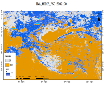
Daily fractional snow cover dataset over High Asia (2002-2016)(Feb. 26, 2018, 3:37 a.m.)

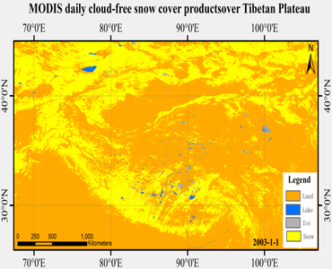
MODIS daily cloud-free snow cover product over the Tibetan Plateau (2002-2015)(Feb. 22, 2018, 6:58 p.m.)

MODIS daily cloud-free snow cover product over the Tibetan Plateau (2002-2015)(Feb. 22, 2018, 6:58 p.m.)

Dataset of microwave brightness temperature and the freeze-thaw process for medium-to-large lakes in the High Asia Region (2002-2016)(Feb. 17, 2018, 2:22 a.m.)

Research team led by Prof. YANG Kun from Tsinghua Universtiy May 16, 2020, 12:35 p.m.

Research team led by Prof. LONG Di from Tsinghua University May 20, 2020, 7:07 a.m.

Research team of Prof. CAO Xianyong from ITP May 5, 2022, 11:58 a.m.

Research team led by Prof. YANG Kun at Tsinghua University May 16, 2020, 8:56 a.m.
数据集个数 2145
总数据 (GB) 102828
总注册人数(人) 62093